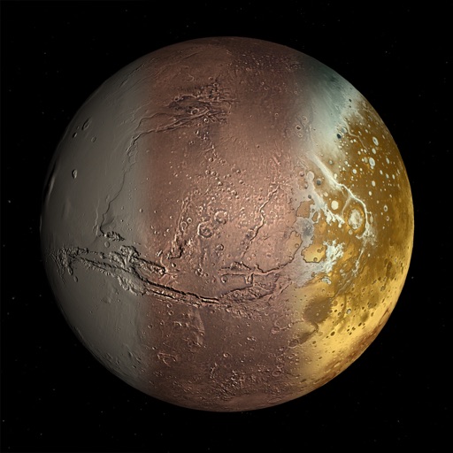
Explore by rotating, tilting, and zooming a 3D globe. Select locations to view topographic and gravity data. Pinpoint key features like volcanoes, craters, and spacecraft landing sites.
by Viktor Goltvyanytsya★ 4.3159 ratingsEducation$6.99Data updated 2026-09-10
Navigation provides offline global maps for iPhone and iPad. Users can draw routes, view elevation profiles, and access detailed terrain maps without internet. Hikers and cyclists benefit from specialized route networks and clear map details.
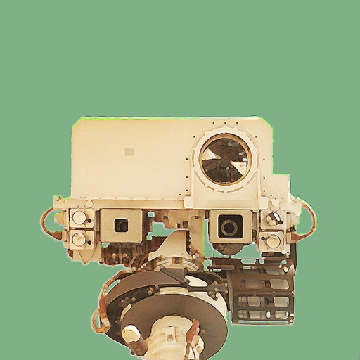
Explore Mars images from NASA's Curiosity using camera, date, and sol date filters. View archived photos and learn about Mars time and the mission. Save selected images to your device's photo library. Share photos via email.
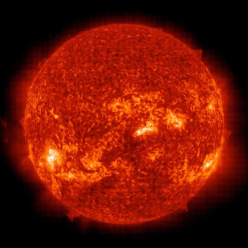
The app downloads and displays the latest images from the Solar and Heliospheric Observatory (SoHO). It provides push notifications to alert users when new images are available.
Play with simplified moves selected by Stockfish. Choose between two legal moves per turn. Track game progress and review move analysis after each game. Save and share game history. Learn strategies through post-game insights.
John Fitzgerald Kennedy Library Foundation Incorporated
Explore AR space missions and Kennedy's vision
Explore an augmented reality recreation of the Saturn V rocket and a 5-day mission simulation. Interact with AR games, view NASA footage, and access educational content about the moon landing and President Kennedy’s vision.
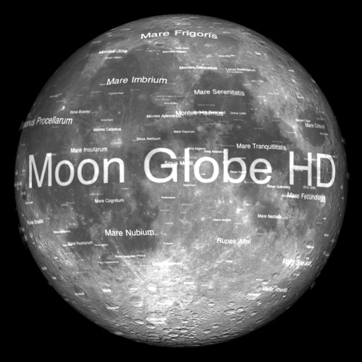
The app displays Earth's Moon in realtime 3D using satellite imagery and topographic data. Users can manipulate the view, switch to Telescope mode, and adjust the display time to observe shifting sunlight on the lunar landscape.
The app displays SPOT messages with GPS locations on various map types. Users can filter messages by date, type, or device, and zoom to the most recent message.
View and explore images from NASA’s Curiosity, Spirit, and Opportunity rovers. Browse current or past photos by sol date. Bookmark favorite images and share them directly. No login required.
Navigate using precise latitude and longitude coordinates. View real-time sunset and sunrise times. Use integrated flashlight to illuminate paths. Track location for outdoor activities.
Explore 3D models of Earth, Mars, and the Moon with detailed surface data. Navigate the planets, zoom in on features, and fly through orbit. View planets in VR with compatible headsets or on a standard device without additional equipment.
Browse panoramas by dropping a pin, searching for an address, or selecting a contact. 360° scenes with blue coverage indicators. Switch between satellite, terrain, and 3D map modes. Rotate and tilt the map for detailed navigation.
The app offers a 3D tour of the Universe guided by Professor Brian Cox. Users can explore celestial bodies, witness cosmic events, and access over 200 interactive articles and BBC videos.