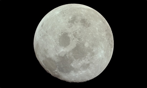
Explore by rotating, tilting, and zooming a 3D globe. Select locations to view topographic and gravity data. Pinpoint key features like volcanoes, craters, and spacecraft landing sites.
by Viktor Goltvyanytsya★ 4.3159 ratingsEducation$6.99Data updated 2026-09-10
Provides navigation with detailed vector maps that support zooming at any level. Includes location-based points of interest and real-time updates without requiring an internet connection. Allows users to save data plans by avoiding roaming charges.
The app presents a 3D topographic map of Eastern Canada. Users can download map data for use without an internet connection, suitable for various travel methods.
View live arrival and departure boards with flight tracking maps. Track all flights in real time using Sky Radar. Explore locations and topics in and around Riyadh. Book flights to top destinations.