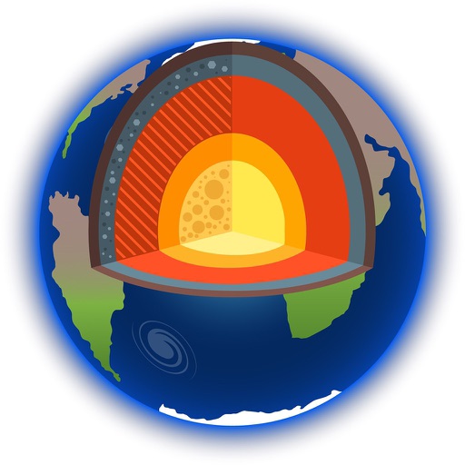
Explore by rotating, tilting, and zooming a 3D globe. Select locations to view topographic and gravity data. Pinpoint key features like volcanoes, craters, and spacecraft landing sites.
by Viktor Goltvyanytsya★ 4.3159 ratingsEducation$6.99Data updated 2026-09-10
Learn about and its applications in studying Earth and Solar System bodies. Explore methods used in oil and mineral exploration, groundwater analysis, and planetary research.
Provides navigation with detailed vector maps that support zooming at any level. Includes free continuous updates from OpenStreetMap. Helps avoid roaming charges by enabling use.