

Apps Like Mars Info for iPhone and iPad
Explore with gesture controls
Explore by rotating, tilting, and zooming a 3D globe. Select locations to view topographic and gravity data. Pinpoint key features like volcanoes, craters, and spacecraft landing sites.
Mars Info screenshots
Ranked alternatives
Showing 301–320 of 1,000 ranked alternatives.

DLR_next
DLR German Aerospace Center e.V.
Explore space and the night sky.
The app allows users to explore the International Space Station's current location and upcoming visible passes. It also transforms a smartphone into a mobile observatory, displaying stars and planets in the night sky with detailed information.

ManyTime
Taiji Matsuoka
Organize events by type and group.
The app organizes events separately by type. It allows users to search for the nearest event within each group.

Map Tracker: Pinpoint Location
A Service Corp
Locations and create maps
MapTracker allows users to drop pins on a global map and categorize them into collections. Pins can be color-coded and annotated with detailed notes. Users can search for locations, share maps, and sync data across devices.


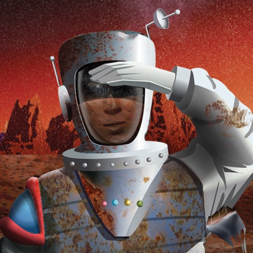


Scenic Map Eastern USA
Mark Granger
Explore 3D maps offline worldwide
Navigate using a 3D topographic map of the USA with offline access. View vector map data without internet. Use in vehicles or during hikes. Switch to global online maps with automatic caching for areas without coverage.







Global Position
NIK PSARAGKATHOS
Track location and navigate routes
Track precise location with Decimal Degrees, DMS, UTM, and MGRS formats. Access topographic maps and route planning. Set waypoints and measure distances. Share coordinates via email or messaging. Sync with GPS devices for real-time navigation.
How we rank alternatives
Apps are ranked by functional similarity, category fit, rating confidence, and popularity.