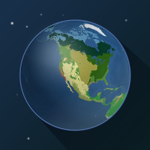
Explore by rotating, tilting, and zooming a 3D globe. Select locations to view topographic and gravity data. Pinpoint key features like volcanoes, craters, and spacecraft landing sites.
by Viktor Goltvyanytsya★ 4.3159 ratingsEducation$6.99Data updated 2026-09-10
Access detailed country profiles including history, government, economy, geography, and communications. Search for specific countries or regions. Compare data across entities. Download reports and save information for offline use.
Explore with GPS-guided navigation to 12 locations. Access historical audio about each bridge, safety instructions, and map directions. View bridge details and photos within the .
The app provides audio and video sermons, weekly devotionals, and answers to frequently asked questions. It offers a Netflix-style interface for messages on demand, allowing users to watch and listen to sermons and teachings.
View a 3D with GPS tracking and real-time compass. Explore locations with media features and video streams. Rotate, zoom, and navigate the Earth. Access location-based content and track movement.
The app displays real-time altitude in meters or feet using a GPS signal. It automatically detects the user's location and shows altitude, name, address, latitude, and longitude on a map.
Customize dashboards with configurable gauges like speedometer, odometer, GPS altimeter, barometric altimeter, accelerometer, artificial horizon, compass, and elapsed time. Swipe to switch views and access real-time sensor data from iPhone or iPad.
Know current coordinates and address. Save and view favorite locations with categories. See routes to saved or searched locations from current position. Share current or saved locations via Mail, SMS, and WhatsApp.