Control DJI drone flights with preloaded missions and custom routes. Adjust camera settings, capture photos and videos, and review media directly. Share content via social media or email. Track flight data and manage drone settings remotely.
Display current speed using GPS and show speed limits via online checks. Alert when exceeding speed limits. Track weather, temperature, odometer, altitude, and average/max speed.
Control a drone with telemetry data including distance, altitude, and pitch/roll. Navigate using a home indicator. Access VR FPV mode with adjustable views. Record videos with advanced settings. Use trainer mode with an external controller.
Navigation displays real-time on two customizable maps. Users can track their position while driving, adjust zoom settings per map, set map sizes, and toggle between vehicle-following and north-up views.
Provides GPS altitude and pressure altitude readings. Displays speed in kph, mph, and knots. Measures barometric pressure in multiple units. Tracks acceleration in G forces. Shows location, magnetic, and true heading.
Displays speed and distance using GPS. Tracks maximum speed with vibration alerts. Shows position and time of maximum speed on a map. Switches between light and dark modes. Notifies of GPS measurement errors. Supports motorcycles, cars, and planes.
Measure acceleration, orientation, and motion with built-in sensors. Record and analyze real-time data for experiments. Detect and generate sound tones. Visualize audio waveforms. Export measurements and graphs for scientific use.
Track routes, find waypoints, and navigate offline
Navigate outdoors with offline GPS maps and real-time augmented reality. Track waypoints and custom locations. Use a gyrocompass, speedometer, altimeter, and inclinometer. Find celestial bodies and measure angles.
Determine location using GPS and MGRS coordinates. Display latitude, longitude, and altitude. Show 16 main directions. Operate offline. Suitable for camping and outdoor navigation.
Calculates distances between map points and areas of non-overlapping polygons. Users can switch between metric and imperial units. Coordinates are displayed in decimal or degrees, minutes, and seconds.
Track speed with a graphical dashboard and analog/numeric display. View current location, weather, and temperature in Celsius or Fahrenheit. Switch between kilometer and mile units. Customize dashboard colors and use an analog compass.
View VATSIM network data including pilots, controllers, and airports. Track users and friends. Display flight routes and weather information. Access event details and member certificates. Support dark mode with no ads.
Displays current position via GPS with a map and sea level measurement in meters. Converts meters to feet using a calculator. Measures barometric pressure with a sensor for altitude tracking. Alerts for potential flooding.
Control DJI drones with real-time FPV flight using VR headsets. Adjust camera settings, record video, and view live feeds. Manage flight paths, monitor battery life, and stream footage directly.
Calculate sunrise, sunset, moonrise, and moonset times for your location. Track solar noon, day length, and equation of time. View declination, twilight phases, and azimuth angles. Monitor seasonal dates, solstices, and equinoxes.
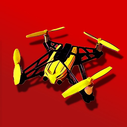
Control a Parrot Minidrone with on-screen speed settings for adjusting flight behavior. Enable banked turns for automatic rolling during yaw movements. Activate headless mode for simplified flight orientation.
Displays speed in and distance traveled using GPS. Tracks maximum speed with vibration alerts. Shows position and time of maximum speed on a map. Switches between light and dark modes. Notifies of GPS measurement errors.