Access real-time data and satellite imagery from multiple sources including Clear Sky Charts, Clear Outside, Meteoblue, Windy, Astrospheric, and Sat24. View water vapor images and track wind patterns.
View real-time images and current conditions. Track movement, fronts, and storms with zoomable . Forecast for any location worldwide. Display emerging patterns and real-time updates.
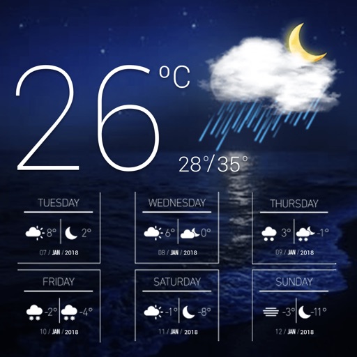
View current and upcoming with detailed forecasts including rain, snow, wind, and UV index. Track historical highs and lows. Use widgets and Apple Watch integration for quick updates.
Predicts optimal times and locations for photography based on light, sky, and moon conditions. Displays sky, light, and moon indexes. Provides forecasts for worldwide locations. Helps plan outdoor shoots with detailed weather insights.
Check current weather conditions and forecasts for multiple locations. View hourly, daily, and weekly predictions. Access radar maps and track storm movements. Monitor humidity, UV index, and temperature trends.
View decoded and TAF reports for local and global . Save favorite stations for quick access. Customize units in settings. Use map view to analyze flight along planned routes. Share data with other pilots.
View real-time maps showing precipitation types like rain, snow, and hail. Access detailed 24-hour and 14-day forecasts for any location. Receive severe weather alerts and track current conditions globally.
Receive live warnings with real-time tracking across all 50 states. View active warnings with polygon boundaries on maps. Access affected population and county data. Get daily activity summaries.