Displays current speed, longitudinal and transverse slope, and ascent/descent percentages. Switch between normal and HUD modes for windscreen reflection. Verify vehicle speed during cycling, running, flying, or sailing.
Navigation allows users to view direction aligned with satellite imagery or maps. Displays street address, GPS coordinates, elevation, and What3Words codes. Taps switch between satellite and map views. Pinch or spread to zoom.
Track speed and distance in miles and kilometers. Monitor real-time speed and display maximum and average speeds. Check speed limits and receive warnings for speed and red light cameras. Access offline maps and view weather conditions.
Monitor sensors and permissions to manage access. View battery usage, storage, and network activity. Control privacy settings and track performance metrics. Sync data across iOS and macOS devices.
GPS tracks current speed, distance, and altitude. Displays average and maximum speed. Shows speed limits in real time. Supports mph, km/h, and knots. Measures travel time and battery level. Works offline.
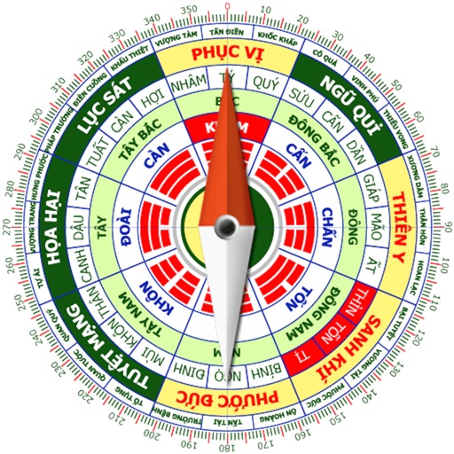
Calculate home direction using compass and grid layout. Determine optimal placement for furniture and objects. Analyze spatial energy flow and recommend adjustments for harmony.
Determine favorable and unfavorable directions based on age, birth date, and personality. Use a compass to align spaces for better energy flow. Provide guidance for arranging furniture and optimizing living environments.
GPS-based digital displays current speed during driving, flying, cycling, or boating. Shows head-up display mode on car dashboard. Displays maximum speed limit and road name. Includes linear compass for direction.
Use device sensors to locate planets, constellations, and satellites. View high-definition graphics with Retina display. Adjust settings based on location and time. Access detailed information about celestial objects.
Measure geographical orientation with a precise . Display longitude, latitude, altitude, weather, and magnetic field data. Record location points and view saved travel history.
View real-time GPS maps and switch between map and views by holding the device. Track heading, , altitude, latitude, longitude, speed, and temperature. Use a for accurate navigation and monitor speedometer and temperature readings.
Track prayer times and Qibla direction based on GPS location. Set notifications for prayer times. View accurate prayer schedules and Qibla compass for navigation.
Track speed with a graphical dashboard and analog/numeric display. View current location, weather, and temperature in Celsius or Fahrenheit. Switch between kilometer and mile units. Customize dashboard colors and use an analog compass.
Measure acceleration, orientation, and motion with built-in sensors. Record and analyze real-time data for experiments. Detect and generate sound tones. Visualize audio waveforms. Export measurements and graphs for scientific use.
Displays current direction with a clear, minimal interface. Taps to reset orientation. Adjusts for magnetic declination automatically. Offers calibration and tilt sensitivity settings. Syncs with device sensors for accurate readings.