A displays cardinal directions and uses GPS to determine location. It features a realistic virtual interface, shows geographical directions, and helps users navigate effectively.
by NETIGEN KLUZOWICZ SPOLKA JAWNA★ 4.412 ratingsUtilitiesFreeData updated 2026-09-10
Navigate using real-time GPS directions and map views. Set and save navigational bookmarks. Locate parked cars with built-in car finder. Track walking routes and receive turn-by-turn guidance. Share locations and view points of interest.
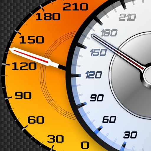
Track vehicle speed using GPS or simulation mode. View detailed speedometer displays with realistic graphics. Hear authentic engine during acceleration. Explore speed data from popular supercars.
Navigate with a digital that provides real-time direction. Set and track location markers. Adjust settings for accuracy. Personalize appearance with themes and styles. Share coordinates and routes.
Display current speed using GPS and show speed limits via online checks. Alert when exceeding speed limits. Track weather, temperature, odometer, altitude, and average/max speed.
Fly and control an through a realistic countryside scenario with 3D graphics. Perform stunts in environments like barns and windmills. Purchase game modes and planes from an in-game store. Track progress through various locations and challenges.
Calculate altitude using GPS, ASTER, or barometer (iPhone 6 and later). Display average altitude from GPS and ASTER data. Show peaks, compass, and distance grid on an integrated map. Support Apple Watch. Choose unit of measurement.
View 3D and 2D side by side. Tap or hold to specify locations. Adjust 3D map angles. Search for addresses and locations. Use compass and GPS. Access real-time traffic data. Switch to full screen. Search Wikipedia. Control map zoom from Apple Watch.
Display directions and current location data. View altitude, barometric pressure, and coordinate details. Navigate using coordinates and save location bookmarks. Track sunrise and sunset times. Show solar elevation and azimuth angles.
Track speed with a graphical dashboard and analog/numeric display. View current location, weather, and temperature in Celsius or Fahrenheit. Switch between kilometer and mile units. Customize dashboard colors and use an analog compass.
Track prayer times and Qibla direction based on GPS location. Set notifications for prayer times. View accurate prayer schedules and Qibla compass for navigation.
The app displays GPS information including address, latitude, longitude, altitude, and speed on a map. It also shows directions for north, south, east, and west, along with true and magnetic north.
Navigate using precise latitude and longitude coordinates. View real-time sunset and sunrise times. Use integrated flashlight to illuminate paths. Track location for outdoor activities.
Navigate using an offline map and compass tailored for Burning Man. Find nearby events and locations with full text search and geocoding. Access favorites, view walking and biking estimates, and filter events. Sync with Apple Health.
View coordinates for celestial bodies including planets, the Moon, the Sun, stars, and deep sky objects. Check if objects are above the horizon with a green icon. Click to access detailed information.
Calculate groundspeed, true heading, compass heading, leg time, distance, fuel required, fuel flow, and endurance for flight planning. Convert airspeed, altitude, and temperature.