

Apps Like Simple Map for iPhone and iPad
Ranked alternatives
Showing 461–480 of 1,000 ranked alternatives.

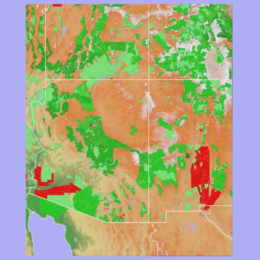
Scenic Map Grand Canyon
Mark Granger
Explore landscapes in three dimensions.
The app provides 3D topographic maps for iPad and iPhone. Vector map data is contained within the app for offline use, supporting navigation in various environments.

Globe View - Live Street Maps
Isha Bhingradiya
Explore , satellite imagery, discover locations
Global with satellite imagery and topographic details. Explore nearby locations and access real-time data. Zoom in for detailed views and switch between map and modes. Track locations and save favorites for future reference.

Outdoor Navigation ape@map
Onyx Technologie OG
Outdoor and Hiking Navigation ape@map
The app provides offline GPS navigation for outdoor activities. It includes over 70,000 tours for hiking, biking, and skiing, with details like reviews, elevation models, text, and images.




Cades Cove Visitor Guide
Designsensory, Inc.
Plan hikes and view attractions
Plan trips to with detailed hiking and sightseeing information. Access directions and parking details. Learn about hiking, biking, and camping options. View live satellite maps and track your position within the park.


iGIS
Geometry
Mobile GIS functionality for the iPhone.
The app provides GIS functionality on the iPhone. Users can load, view, investigate, create, and export their own data over map service imagery.

Singapore Rail Map Lite
Ansgar Vollmer Und Till Knorr
Plan routes and view transfers
View detailed and subway routes in Central . Find fastest routes with transfer points. Access stations index for quick navigation. See line-specific station order and transit options. Switch between day and night maps for improved visibility.

iGPS
Ynfo SAS di Graziano Gennaro & Co.
Access GPS and weather information.
The app provides access to device GPS functionality, displaying heading, compass, map views, speed, distance, coordinates, and altitude. It also offers weather information including temperature, humidity, pressure, cloud cover, and wind speed.

MyFieldTracker
MyShoppingHelper, LLC.
Track areas with ArcGIS maps and GPS
Allows users to define harvesting areas and stream boundaries using ArcGIS map data. It supports iPad with GPS boosters for location tracking. Users can manage map layers and attributes for forestry planning.
How we rank alternatives
Apps are ranked by functional similarity, category fit, rating confidence, and popularity.