
Apps Like CamSextant for iPhone and iPad
CamSextant screenshots
Ranked alternatives
Showing 381–400 of 1,000 ranked alternatives.


Alpine Hiking & Camping Tools
Mobile Card Games & Travel Apps LLC
Navigate with compass and weather updates
Navigate outdoors with a compass, digital level, and elevation tracking. Access real-time weather data and 3-day forecasts. View location coordinates and use emergency for safety.

PFMA E6B LITE
Gonzalo Esteban Astica Capra
Calculate flight data and track position
Navigation provides flight planning and in-flight calculations. Users can customize quick access buttons, configure units, and adjust keypads. Features include real avionics look, flight data entry, and performance calculations.
Vintage Fighter
国财 胡
Experience high altitude flight game.
The app is a casual fighter shooter game where players control a fighter jet. Players can experience high-altitude flight and collect stars or new weapons to unlock more levels.

GPS
Void Stop Pty Ltd
Access iPhone GPS functionality and more.
The app displays current heading, course, speed, coordinates, and altitude. It offers street, topographic, and aerial maps, with cached maps available for a day.


Aircraft Horizon
Sean Flanagan
Photo-realistic aircraft artificial horizon indicator.
The app provides a photo-realistic aircraft Artificial Horizon indicator for iPhone. It features resettable zero and smooth, realistic movement, with improved graphics and landscape mode in the latest version.

flyguide for crew
Novamedia LLC
Detailed satellite imagery for crew.
The app displays detailed satellite imagery of the United States with offline map capabilities. It provides a moving map display using GPS tracking, labeling geographical features and points of interest.



Speedometer GPS+
Tigran Mkhitaryan
Track speed and distance with GPS
Monitor speed and distance with real-time GPS tracking. Switch between car and bike cyclometer. View average and max speed. Adjust units to mph or km/h. Check GPS accuracy and distance precision. Track time elapsed and altitude.

MuslimPilot Log
MOHAMMED AL OTAIBI
Track prayer times and flight logs
Navigation allows pilots to calculate prayer times adjusted for altitude. Import flight plans to create detailed logs. Track Fajr, Dhuhr, Asr, Maghrib, and Isha times along routes. Sync with flight data for accurate scheduling.


QuikClub: Golf Caddie
Prestige Worldwide Industries, LLC
Track shots and weather conditions
Track shots and environmental conditions including wind speed, elevation, temperature, humidity, and ground conditions. Receive precision club recommendations based on shot shape and environmental data.
Alps Peaks AR
Jerome Goursau
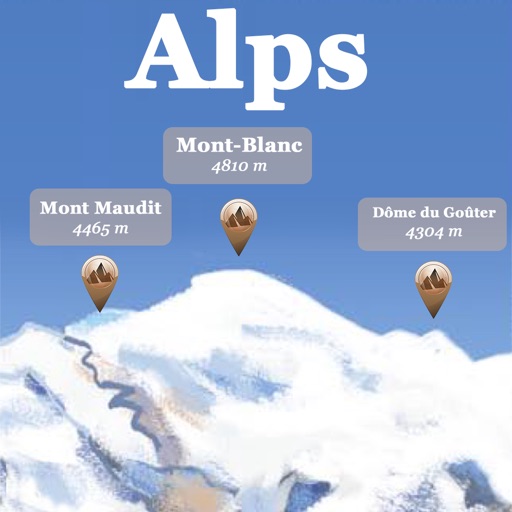
Discover Alps peaks, lakes, and shelters.
The app references over 20,000 peaks, passes, lakes, and shelters in the Alps. Users can find names, altitudes, and distances to summits and locate various points of interest on a 2D map.


How we rank alternatives
Apps are ranked by functional similarity, category fit, rating confidence, and popularity.