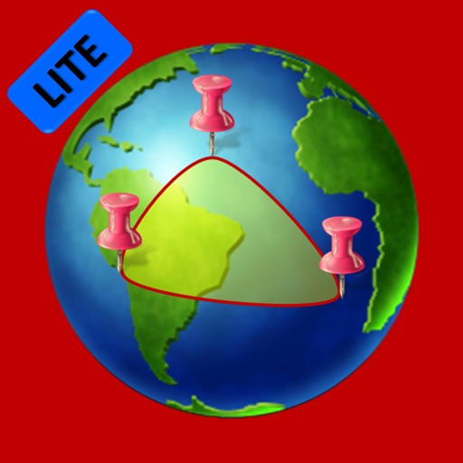
Lets users measure distances and areas on maps. They can plot a radius around a point with customizable color and size. Share map images to indicate routes, areas, or radii. Export maps as images for documentation or communication.
by GV Software Solutions Limited★ 4.061 ratingsUtilitiesFreeData updated 2026-09-10
Live Satellite Navigation provides real-time traffic updates and precise voice guidance for accurate route navigation. Multi-mode route planning allows users to select different travel options.
Access charts for based on CHS data. Create and manage boating routes with route manager. Import GPX/KML files. Use voice prompts for . View nautical charts with course orientation.