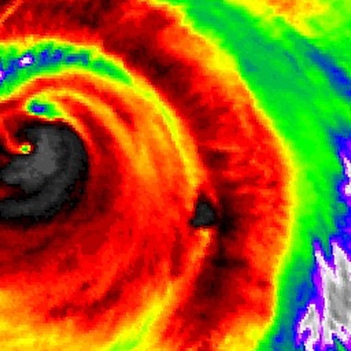
Apps Like US NOAA Radars 3D Pro for iPhone and iPad
Zoom in, track weather, refresh radar
View real-time radar images updated every 10 minutes. Zoom in or out to see weather across multiple states. Toggle radar visibility with the Radar button. Adjust transparency using a slider. Select different radar sources from the menu.
by Jufen Chang★ 1.77 ratingsWeather$1.99Data updated 2026-10-14
Receive severe alerts and view real-time radar tracking storms at street level. Watch local video forecasts and impact days to plan activities. Access hourly and 10-day forecasts from meteorologists. Use FutureView technology to track changes.
View current weather with frequent updates. Access high-resolution radar and satellite imagery. Track severe weather movement with future radar. Save favorite locations. Use GPS for location-based forecasts. Add and manage stations.
The app provides breaking news alerts for Baltimore and surrounding areas. Users receive local news, weather, and sports updates, including live streaming and interactive radar.
Access real-time data with high-resolution radar and satellite imagery. Track severe trends and view current conditions updated frequently. Save favorite locations and use GPS for location-based forecasts.
The app provides current weather updates and daily/hourly forecasts. It features 250-meter radar, satellite imagery, and future radar to track severe weather, with opt-in push alerts for safety.
View real-time radar and satellite imagery for tracking. Access color-coded alerts by severity. Use GPS for location-based forecasts. See road conditions with the Road Index. Display maps in vertical or horizontal format with looping.
Watch live videos and read local articles from trusted reporters. Access real-time updates on , weather, and traffic for Norfolk, Virginia Beach, Chesapeake, Hampton, Newport , Portsmouth, Suffolk, and northeastern North Carolina.
The app provides local news and weather for southern Colorado. Users can watch video reports, read articles, and access detailed weather conditions with an interactive radar map.
View live and on-demand videos for local updates. Check minute-by-minute weather with radar and 5-day forecasts. Get real-time drive times for navigation. Access breaking and in-depth coverage. Track local events and community updates.
The app provides local weather coverage including current conditions, regional radar, hourly and weekly forecasts, and weather alerts. Users can submit photos or videos of local weather and view closings.
Access real-time data with high-resolution radar and satellite imagery. Track severe trends and view current conditions updated frequently. Save favorite locations and receive forecasts for daily and hourly periods.
The app provides Charlotte area weather forecasts with hourly and daily updates. It features current conditions updated multiple times per hour and the First Alert Doppler Radar Network with high radar resolution.
Receive severe weather alerts for tornado, hurricane, flood, thunderstorm, winter , and other dangerous conditions. View alerts via voice or push notification. Track progression and receive updates based on your exact location.
View current updates multiple times per hour. Access high-resolution satellite imagery and 250-meter radar. Check hourly and daily forecasts. Track severe movement with future radar. Save and add custom locations.
The app provides 250 meter radar with future radar to track severe weather. It offers high-resolution satellite imagery and current weather updates multiple times per hour, with daily and hourly forecasts updated hourly.
The app provides breaking news alerts for Milwaukee and surrounding areas. Users receive live streaming updates, local weather conditions, hourly forecasts, and an interactive radar.
Access real-time weather data with high-resolution radar and satellite imagery. View current conditions and forecasts updated hourly. Add and save favorite locations. Track severe weather movement with future radar.
Check current with frequent updates. View high-resolution radar and satellite imagery. Access hourly forecasts and future radar trends. Add and save favorite locations. Use integrated GPS for location awareness.
Access real-time updates multiple times per hour. View high-resolution radar and satellite imagery. Add and save favorite locations. Receive hourly forecasts and severe alerts. Use integrated GPS for location-based data.