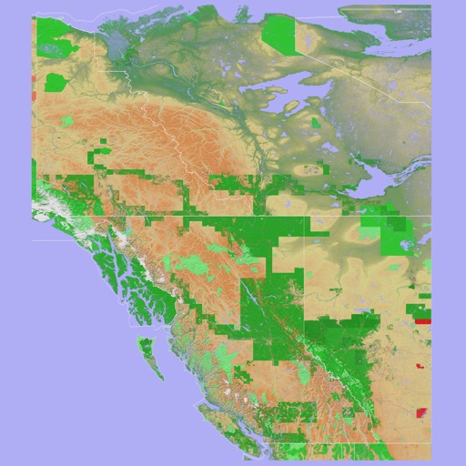
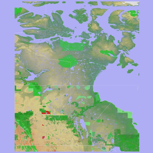
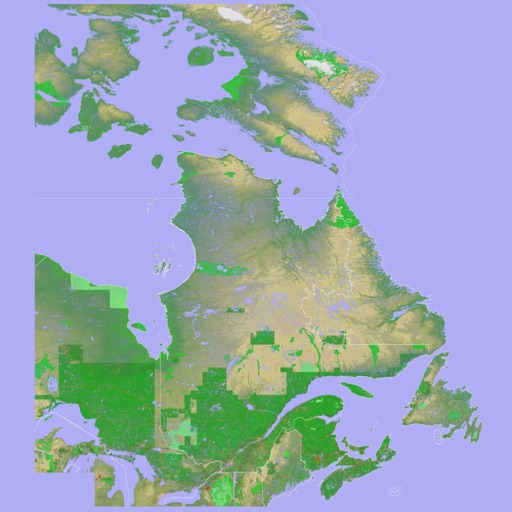
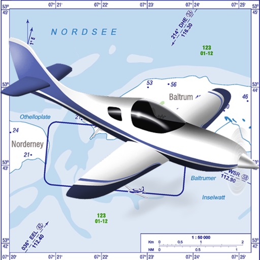
View the map and zoom in or out. Search for addresses and add locations to contacts. Find directions and view nearby businesses. Switch between street, satellite, and hybrid views.
Track position and course over ground. Mark and edit waypoints. Measure distance in nautical miles and meters. Calculate course to waypoint. Display speed in knots, mph, or km/h.
The app records user flights with details including date, duration, aircraft, and airports. It offers statistics on flight numbers, durations, and aircraft usage, along with backup and restore tools.
Log time segments and calculate total time with Time. View block and duty intervals to manage scheduling. Perform preflight performance checks using aviation-specific calculations.