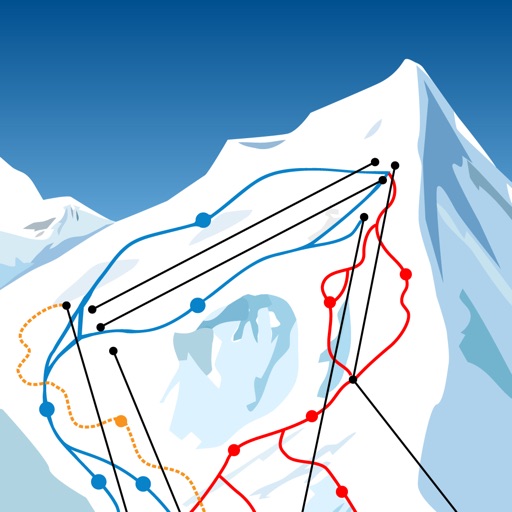
Allows users to view and download routes in 3D. It uses GPS to track location during runs. Users can manage GPX files and access detailed IGN maps in France, Switzerland, Spain, and Belgium.
by Yoomigo★ 4.319 ratingsSportsFreeData updated 2026-09-10
Plan and track ski or snowboard runs with GPS navigation and 3D resort . View detailed trail information and elevation data. Record runs and analyze speed, distance, and time. Share routes and track progress over multiple sessions.
Track steps, calories burned, and floors climbed without GPS. View duration and pace details. Set activity goals and receive motivational prompts. Sync data across devices for consistent progress tracking.
Import GPX files to view and follow routes on maps. Navigate trails, tracks, and paths with turn-by-turn directions. Save and share custom routes. Adjust map settings for different terrain types. Sync with fitness devices for real-time tracking.
Watch live races with multi-media commentary from the de France, Vuelta a España, Giro d’Italia, and 30 additional Classics and World events. Track rider positions, race standings, and key moments.
The app provides access to climbing and backcountry skiing guidebooks on a mobile device. Guidebooks are available for offline use after download and offer turn-by-turn trail navigation to climbs using the device's GPS.
Navigation allows users to explore and select from various outdoor activities including hiking, running, biking, and more. Record custom routes on a map, add waypoints, and capture photos along the way.
Record rides and track distance, speed, elevation, and other metrics. Monitor real-time stats and progress. Use in- route planning and live tracking. Access offline maps for . Share data and explore community-curated cycling routes.
Track workouts for running, cycling, and hiking with real-time data. Save workouts to Health . Use vector maps for navigation. Customize workout settings. Monitor heart rate and distance. Share progress with social media.
The app allows users to download ski resort trail maps to their iPhone. Users can utilize the built-in GPS to navigate slopes or track activities without an internet connection after downloading maps.
View 3D terrain with elevation details. Plan routes using detailed topographic . Access footpaths and natural features. Track progress with distance and elevation metrics. Share and routes with others.
Receive high-quality photos and videos from trail cameras on smartphones or tablets. Activate new cameras, save media, view customizable maps and weather data. Check camera status including signal strength, battery level, and storage.
Create or join cycling rides using routes from Ride with GPS, Strava, Garmin, or GPX files. View ride details including location, participants, expected pace, distance, and difficulty. Organize group rides and track progress during the event.
Access real-time lift and trail status, current snow conditions, and tram access rates. View trail maps, snow alerts, and webcam feeds. Check parking status and ski tracker updates.
Check current conditions with real-time webcams and live weather updates. View lift and run statuses for the day. Access trail maps, locate shops and restaurants, and plan your visit on- and off-the-slopes.
Track rides, measure performance, control settings
Track sessions with real-time GPS data showing speed, average speed, distance, and elevation. Monitor heart rate and cadence. Save routes, analyze performance metrics, and sync data with fitness platforms.
Plan rides using snap-to-destination navigation. View vehicle service history and maintenance reminders. Schedule service appointments. Access vehicle and riding details for trip planning. Connect with a community for riding tips and support.
Access real-time trail maps with GPS tracking and friend location updates. View live weather, videos, webcams, and lift reports. Check in and interact with friends socially. Retrieve mountain deals and stay updated on conditions.
Navigation provides offline maps for climbing . Users can access GPS location tracking without internet. View detailed routes and place names. Check current position during outdoor activities. Sync with GPS for accurate navigation in remote areas.