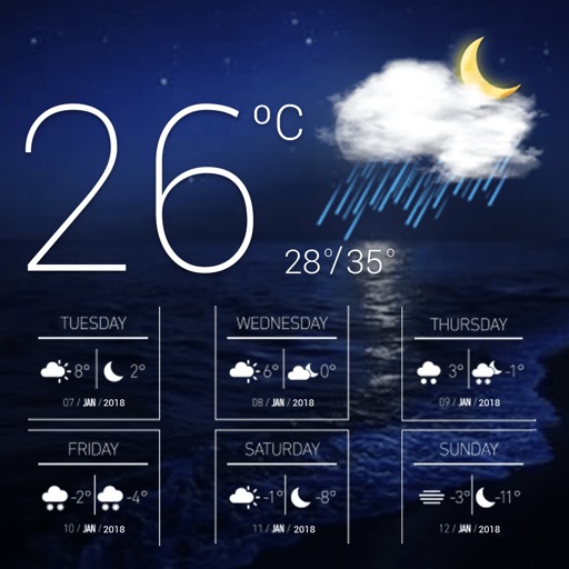
Track current with temperature, humidity, and air pressure readings. Calculate dew point, wet bulb temperature, air density, vapor pressure, and enthalpy. Adjust indoor climate using comfort index calculations.
Track speed and distance in miles and kilometers. Monitor real-time speed and display maximum and average speeds. Check speed limits and receive warnings for speed and red light cameras. Access offline maps and view weather conditions.
Check current weather with customizable widgets on Home and Lock screens. View hourly and 14-day forecasts. Access real-time UV Index and Air Quality Index. Explore interactive 3D Earth globe with Doppler radar maps and precipitation data.
Determine location using GPS and MGRS coordinates. Display latitude, longitude, and altitude. Show 16 main directions. Operate offline. Suitable for camping and outdoor navigation.
Navigation provides altitude estimates using device location service for general use. It offers barometric altitude tracking with iPhone 6 or newer, allowing precise relative elevation changes.
GPS measures and displays speed for walking, jogging, cycling, cars, boats, trains, and airplanes. Users can select display units and choose between two scales. Trip recording and average speed tracking are available.
Access GPS navigation and land ownership data for fishing. Locate lakes with detailed fisheries information. View satellite imagery and apply filters for ice fishing. Find trails, access points, and land ownership details.
Display current direction, altitude, latitude, and longitude. Show real-time barometric pressure and movement speed. Track geographic location. Switch between "Classic" and "Sunset" visual themes with premium color schemes.
Check current with details like temperature, humidity, visibility, pressure, precipitation chance, and storm alerts. View 5-day forecasts with daily conditions. Plan activities based on accurate data.
Calculate groundspeed, true heading, compass heading, leg time, distance, fuel required, fuel flow, and endurance for flight planning. Convert airspeed, altitude, and temperature.
Plan and navigate using an interactive moving map with aeronautical charts, satellite, or vector map backgrounds. View real-time flight data, track position, and adjust routes. Access up-to-date weather and airspace information.