Access real-time data with high-resolution radar and satellite imagery. Track severe trends and view current conditions updated frequently. Save favorite locations and receive hourly forecasts. Integrate GPS for location-based alerts and updates.
View current and 72-hour forecasts with temperature, precipitation, humidity, UV index, and air quality. Check day/night temperatures, wind, visibility, and sunrise/sunset times. Receive for severe events like hurricanes and heavy precipitation.
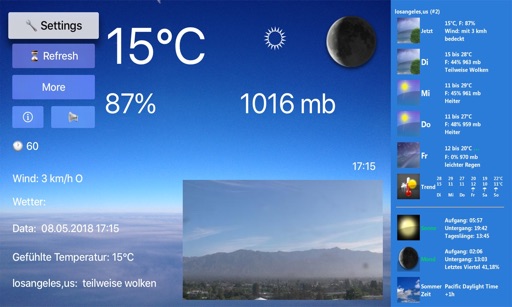
Provides current data with temperature, humidity, wind details, and pressure. Sends push notifications for active warnings. Displays 9-day forecasts and tropical cyclone tracks. Includes today's overview and detailed active warnings.
Check real-time data from over 10,000 stations using high-resolution maps. View detailed tables and charts for conditions. Receive alerts for severe events near your location. Track lightning, heavy rain, and strong winds.
Access real-time data from NOAA, Wunderground, Openweather, and DarkSky. View four live forecasts, check radar maps for detailed conditions, and search by city name or GPS coordinates.
Access real-time marine data including wave height, wind speed, air and water temperature, and pressure from buoys. View 6-hour historical wave trends and receive 5-day National Service marine forecasts with text summaries and specific spots.
View real-time weather data including temperature, humidity, wind speed and direction, rainfall, UV index, dew point, and barometric pressure. Monitor up to two weather stations. Access historical data and alerts.
View current updates multiple times per hour. Access high-resolution satellite imagery and 250-meter radar. Track severe with future radar predictions. Save favorite locations and use integrated GPS for location-based forecasts.
Current shows temperature, icon, and 'feels like' temperature. Displays rain, wind speed, direction, and gusts. Includes widgets for quick views. Allows offline mode for no internet access. Provides hourly and 7-day forecasts.
View real-time data with interactive maps and radar. Access satellite cloud imagery and road alerts. Receive color-coded alerts by severity. Use GPS for location-based forecasts. Track changes with looping map views.