Displays current course, speed, altitude, coordinates, orientation, and weather using GPS and compass. It includes advanced bookmarking, Street View, and live Flyover mapping features.
Track with real-time GPS data and accuracy. View trip distance using a digital odometer. Access HUD mode for display on the windshield. Set customizable alerts. Function without an internet connection.
Displays wind rose and location details including name, latitude, longitude, and altitude in meters or feet. Saves position data for any global location. Requires location services to detect geographical position.
Track location, speed, and altitude with real-time GPS data. Use a digital compass for direction. Access weather information and tag locations. Share coordinates and view maps.
Measure atmospheric pressure and altitude using built-in GPS and pressure sensor. Automatically calibrate readings with local meteorological station data. Display current pressure and elevation levels. Save historical data for reference.
Display speed limits and alert for overspeeding. Show speed camera locations and distance. Provide average and maximum speed tracking. Include odometer and unit selection for KMH/MPH. Display current road name, weather conditions, and temperature.
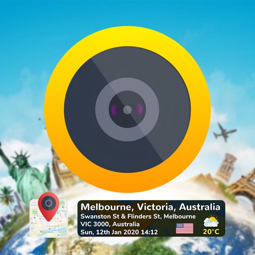
Add time stamps, GPS coordinates, and exact addresses to photos and videos instantly. Enable grid, aspect ratio, switch, flash, focus, and timer settings. Store user locations automatically and reverse-geotag addresses.
Displays real-time device orientation relative to magnetic fields. Switch between true and magnetic North. Shows location coordinates, course, speed, and altitude. Tracks movement and provides directional data.
Determine UTM references, hemisphere, and WGS84 coordinates. Display device accuracy readings. Share location via Twitter. Includes USA UTM zone guide.