Receive critical call details instantly via Apple Push notifications. Automatically map alarm locations and share real-time updates with responders. Access related photos and documents directly. Convert unclear dispatch data into readable sections.
Files between formats by selecting input sources like iCloud, gallery, or iTunes Library. Choose output format and in seconds. Share or save to Files. Access conversion history and re-share converted files.
Converts position coordinates for navigation support.
The app converts position coordinates and provides distance and orientation to a target. It uses the UTM/MGRS position indication system, which is employed by the U.S.
The app converts ebooks between many formats like EPUB, MOBI, and PDF. Users can select input files, choose output formats, and convert files in seconds.
Convert units across categories like length, area, and temperature. Perform simultaneous conversions and customize preferences. Copy converted values to the clipboard for quick use.
Turn your iPhone or iPad into an outdoor GPS or marine chart plotter. Use detailed Topo maps or NOAA marine charts for navigation. Access maps offline without a network connection. View GPS location without mobile signal.
The app displays current location information automatically. Users can view coordinates, altitude, and addresses for current or specified locations, with options to change map formats and save locations.
Convert units between metric and imperial systems including area, distance, speed, temperature, volume, time, weight, energy, and power. Calculate area, speed, distance, and volume with supported units. Switch between units quickly and accurately.
The app provides navigation tools for communications, operations, and outdoor planning. It includes a compass, multiple coordinate systems, weather conditions, and route calculation features.
Enter MGRS or coordinate data to navigate to specific points. Adjust pace count and track deviations. View distance, speed, and angle settings in meters/km or feet/miles. Analyze movement patterns for navigation improvement.
Convert video files to MP3 and other audio formats. Extract audio from local and online videos. Edit audio by cutting, splicing, and adjusting balance. Remove vocals to create accompaniment. Set converted files as ringtones.
View and edit custom maps, manage geographic data, and perform measurements. Support offline map downloads, track locations, record photos and videos, and share memories. Includes tools for surveying, cartography, and planning trips.
Measure distances between locations by pinning points on a map. Track real-time distance using GPS with a timer. Switch between metric and imperial units for distance measurements.
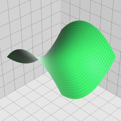
Enter and edit equations in mathematical notation. Visualize 2D and 3D graphs of explicit, implicit, and inequality equations. Adjust settings for display and analysis. Save and share calculations.
Navigate off-road trails and remote areas with maps and turn-by-turn directions. Mark waypoints, track routes, and view elevation data. Access terrain details and compass navigation without internet connectivity.
Track location, altitude, direction, and geographic coordinates on a map. View detailed with altitude changes. Share photos with location details including coordinates and address.