Monitor weather data from your Netatmo station with real-time updates and detailed charts. View temperature, humidity, pressure, and wind metrics. Set up Apple Watch notifications and Home Screen Widgets. Access historical data and weather forecasts.
by Totalidea Software GmbH★ 4.5279 ratingsWeatherFreeData updated 2026-09-10
The app provides access to station content, 250 meter radar, and future radar. It includes high-resolution satellite imagery, current weather updates, and daily/hourly forecasts.
View 15-day and hourly forecasts. Check current conditions and locate nearby stations. Access astronomical data including moon phases, sunrise, and sunset times. Use a moon phases calendar for both hemispheres from 1900 to 2199.
Monitor real-time and historical river levels for and North Shore. Access National Weather Service forecasts for travel planning. Receive weather advisories to adjust travel schedules.
The app offers local weather data and forecasts for Canada and the USA. It presents current conditions, hourly forecasts, and radar information with watches, warnings, and alerts.
View current conditions, real-time temperature, and hourly forecasts. Check storm, rainfall, snow, humidity, pressure, wind force, and direction. Access 10-day forecasts and severe alerts.
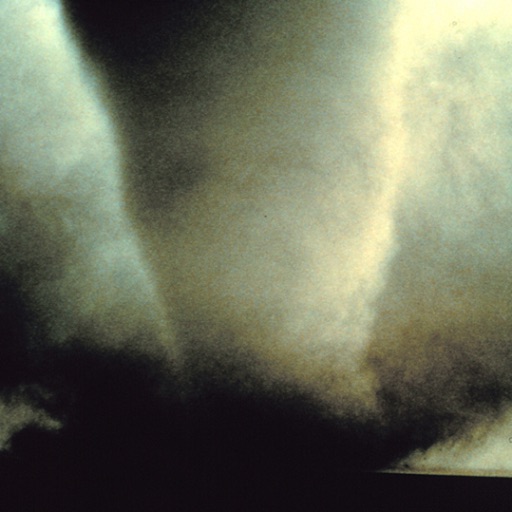
Learn to identify patterns with detailed images, video links, and cloud charts. View interactive diagrams and detailed descriptions. Predict approaching weather systems and name cloud formations accurately.
Access real-time marine data including wave height, wind speed, air and water temperature, and pressure from buoys. View 6-hour historical wave trends and receive 5-day National Service marine forecasts with text summaries and specific spots.
View real-time and forecast air index data for specific locations. Check daily counts and five-day allergy forecasts. Access NOAA Doppler radar and weather maps for pollution, air , and .
View real-time traffic conditions, construction alerts, and weather updates for roads. Access traffic cameras, roadside messages, and speed data. Check weather station reports and road overlays.
Track road conditions and weather in real time. Locate nearby cameras and view live timelapse videos. Check winter driving conditions, construction zones, and incidents. Access weather sensor data and filter camera sites by location or road name.
Check current conditions with hyperlocal data. View temperature, precipitation, and wind details. Access forecasts and radar images. Share updates via social media. Customize alerts for severe .
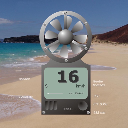
The app displays virtual wind speed, temperature, felt temperature, air humidity, and barometric pressure. Users can save six cities and view a four-day weather preview.
Access real-time forecasts for recreational and coastal areas. View severe weather updates and tide information. See rain radar every 7.5 minutes and 3-day rainfall forecasts with wind barbs. Check surface pressure maps.
Monitor current outdoor temperature and humidity. Access 7-day weather forecasts with detailed outlooks. View atmospheric pressure readings. Track weather trends for short and long-term planning.
Access real-time weather data with high-resolution and satellite imagery. View current conditions and forecasts updated hourly. Add and save favorite locations. Track severe weather movement with future projections.
Check current weather with frequent updates. View high-resolution satellite imagery and 250-meter radar. Access future radar for severe weather tracking. Save favorite locations. Use integrated GPS for location-based forecasts.
Convert handwritten notes or whiteboard sketches into editable diagrams. Create professional visuals using AI-powered tools. Access 40,000+ templates for flowcharts, org charts, and project plans. Edit diagrams with drag-and-drop elements.