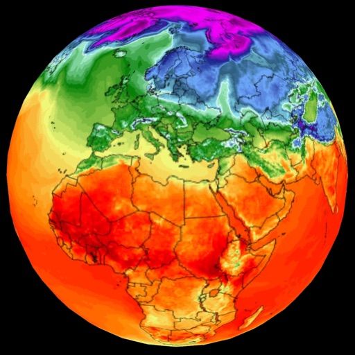
Track real-time counts based on location. Set alerts for high allergen levels. View forecasts for different types. Customize alerts for specific allergens. Sync with weather data for accurate predictions. Share data with others.
View commodity prices and price changes for 15 common items. Access historical data spanning 1 to 36 months. Customize accent colors for interface preferences. Add widgets for market insights.
Check current conditions, including temperature, precipitation, and wind speed. Access a 16-day for upcoming trends. View live maps for real-time rain tracking. Set location-based alerts for changes. Share updates via social media.
The app provides information on weather concepts and terminology. It explains thousands of topics using graphics and animations, and includes a glossary and trivia.
View hourly and daily with clear charts. Report conditions via photo. Check real-time updates and historical data. Set location-based alerts. Access detailed reports for your city.
Track based on location and date. Set reminders for daily prayers. View Islamic calendar and Quranic verses. Access clean, ad-free interface with privacy-focused design. Share logs and connect with community features.
Check real-time data from over 10,000 stations using high-resolution maps. View detailed tables and charts for conditions. Receive alerts for severe events near your location. Track lightning, heavy rain, and strong winds.
Federal Office of Meteorology and Climatology MeteoSwiss
Get weather forecasts and hazard alerts
Receive real-time weather forecasts, current conditions, and natural hazard alerts. Customize warning preferences and thresholds. Access blog posts on weather and climate. View interactive maps and radar data.
Provides local forecasts for every U.S. city and territory. Displays daily and hourly updates created by real meteorologists. Uses data and technology for accuracy. Shows reasoning behind forecasts instead of just predictions.
Monitor air with data and forecasts. View AQI, PM2.5, PM10, NO2, O3, SO2, and pollen levels. Access four-day forecasts and pollution trends. Track changes over time and receive updates on local air conditions.
Provides hyper-local current and future conditions. Users view data on interactive maps and glanceable tables. They access real-time ocean drone data for precise forecasts. Track temperature, wind speed, and wave height.