View routes and manage route lifecycles. Track ridership and receive GPS location updates. Allow passengers to monitor vehicle status in real time. Requires continuous GPS use which may reduce battery life.
The app wirelessly downloads driver manifests to an iOS device. Odometer readings, timestamps, and GPS locations are recorded and uploaded when drivers pick up and drop off clients.
Monitor and manage multiple vehicles across different domains. Track location, fuel levels, and vehicle status in real time. Receive alerts for anomalies and maintenance needs. Generate reports and control access permissions remotely.
Monitor vehicle locations in real-time or review historical data. Control engine functions remotely and set geofencing alerts. Track fuel usage with AI analysis and access live dashcam footage.
Access offline topographic of New Zealand. Download and manage to conserve storage. Locate DOC huts, campsites, and hunting areas. Search for named locations. Import GPX routes and share via AirDrop. Measure distances on .
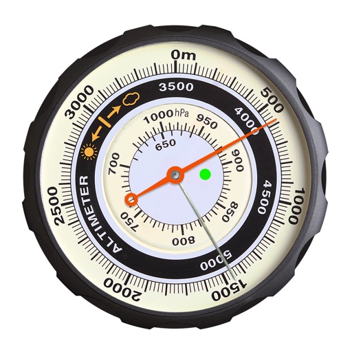
Displays altitude using a digital readout and an analog gauge. Tracks maximum height reached during use. Shows altitude accuracy and sensor quality. Utilizes GPS and barometric sensor for precise measurements.