
Apps Like Wildfire & Earthquake Tracker for iPhone and iPad
Wildfire & Earthquake Tracker screenshots
Ranked alternatives
Showing 341–360 of 1,000 ranked alternatives.

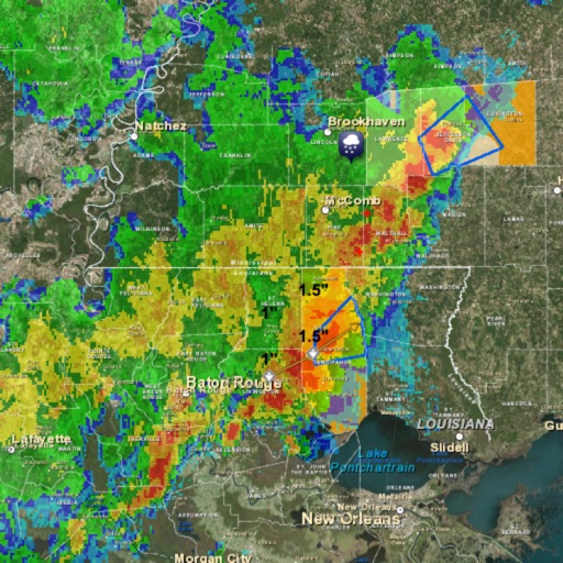



Traffic from 9 WSYR Syracuse
Nexstar Broadcasting, Inc.
See traffic alerts as they happen.
The app displays traffic speeds, accidents, and road work on an interactive map. Users can view live traffic cameras and find the cheapest gas with a fuel finder.



Aurora Alerts Forecast Tracker
AI POWERED APPS OU
Check forecasts and track visibility
View the likelihood of auroras in your city with a 3-day . Set location-based for high chance days. Check real-time forecasts and track visibility conditions.
EPA Response On The Go Plus
Environmental Protection Agency
Access weather data and alerts on
Water utility operators can access location-based weather data and severe weather alerts from NOAA. They can locate and contact partners. The allows recording responses to cybersecurity incidents, droughts, earthquakes, and other emergencies.


NMRoads
New Mexico Department of Transportation
New Mexico traffic and travel information.
The app offers New Mexico motorists mobile access to travel and traffic information. It includes an interactive map, live camera views, electronic message board data, and travel times for the Albuquerque metro area.


HIA Qatar
Hamad International Airport
Navigate airport terminals and gates
Navigate the airport using an interactive map. Access real-time flight information. View details about airport services and facilities. Locate shops and restaurants within the airport.


How we rank alternatives
Apps are ranked by functional similarity, category fit, rating confidence, and popularity.