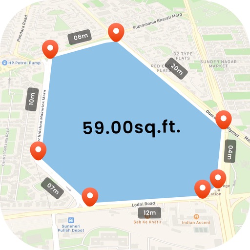
The app displays the user's current location on a map of Ireland or Northern Ireland. It provides the Irish Grid Reference, compass bearing, and latitude/longitude in OSGB36 and WGS84 formats, along with GPS signal strength.
Capture field data including measurements, comments, and images. Download and upload data as needed. Function offline and store critical operational data. Perform complex calculations. Review integrated data from IoT devices.
The app provides access to a Lotpath Quality account, allowing users to review recent inspections and photos. New inspections can be performed, and photos can be captured using the device's camera.