

Apps Like Now Altimeter for iPhone and iPad
Now Altimeter screenshots
Ranked alternatives
Showing 921–940 of 1,000 ranked alternatives.

All tools
ATEU Softwares
Stream camera feed to trusted devices
Is a utility that works offline and keeps data local. It includes a live camera feed for CCTV, walkie talkie over local Wi-Fi, compass for direction, and leveler for measuring.


Perfect Egg Timer
Matthew Pidden
Cook eggs to doneness
Cook eggs with precise timing for various styles and sizes. Set timers for soft, medium, or hard doneness. Adjust for fridge or room temperature and high altitude. View visual progress during cooking.


Mistral Gliders
0xBurg
Track flights, locate , view live positions
Track , paragliders, planes, and helicopters in real time with live position and flight path data. View airfield details including frequencies, runways, and METAR reports. Access rain radar, cloud layers, and flight time calculations.


FlyToDiscover - Bebop
Stefano Russello
Control drones, manage media, voice command
Control drones with voice commands and a 2D simulator for indoor flying. Capture 360° panoramas and manage media files. Supports SKY CONTROLLER 2 and multiple languages including English, Italian, Portuguese, French, Spanish, German, and Romanian.

Cycle GPS Logger
Yukiko Iwai
Track cycling trails and view data.
The app displays the user's position, speed, and altitude on a map. It tracks and displays the user's cycling trail, allowing for offline viewing and background operation.


T2000ADSB
microair avionics pty ltd
Track GPS position and manage transponder data
Access and manage transponder data with editing and configuration tools. View GPS position and altitude information. Integrate with Mode A/C and ADS-B systems. Monitor and adjust transponder settings remotely.

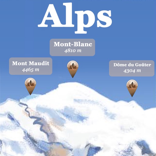
Alps Peaks AR
Jerome Goursau
Discover Alps peaks, lakes, and shelters.
The app references over 20,000 peaks, passes, lakes, and shelters in the Alps. Users can find names, altitudes, and distances to summits and locate various points of interest on a 2D map.

Cold WXR Altitude Correction
Ralf Keber
Low temperature approach altitude calculations.
The app provides calculations for low-temperature approaches using ICAO standards. It displays corrected altitudes graphically and offers a distance-altitude table for approach planning.


How we rank alternatives
Apps are ranked by functional similarity, category fit, rating confidence, and popularity.