

Apps Like Topo Maps US for iPhone and iPad
View topographic offline
View topographic of the United States with options for standard or hybrid map sources. Download for offline use and track current location on the map. Navigate using map features and explore terrain details for outdoor activities.
Topo Maps US screenshots
Ranked alternatives
Showing 421–440 of 1,000 ranked alternatives.


PistePal
404 Company Not Found LLC
Navigate trails, track location, share position
Provide high-resolution trail maps for 6,000+ ski resorts worldwide. Offer turn-by-turn navigation to runs, lifts, and locations. Filter routes by ability level and preview routes in first-person. Share location in real time.


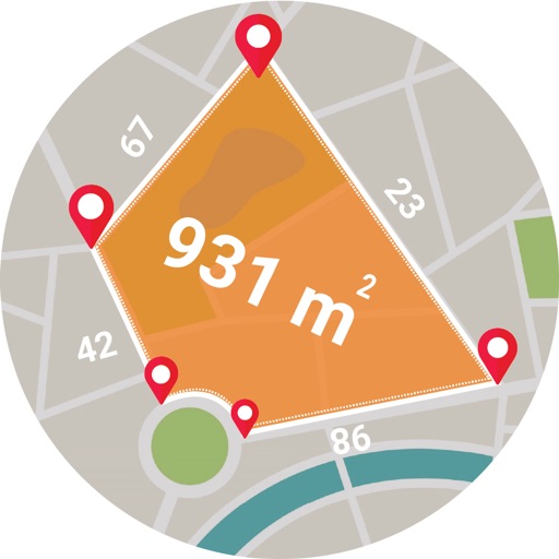
Live GPS Land Area Calculator
Muhammad Asad Khan
Measure areas and distances with GPS
Calculate areas, plots, and distances using GPS technology. Draw and map regions on a map. Measure perimeter and of custom shapes. Save and share measurement data. Export maps in various formats.

PathAway Outdoor Navigation
Scott Northmore
Track routes, navigate trails, and map
Record GPS tracks to monitor progress and navigate back. Download offline maps for street, topographic, and satellite views. Save and share route data. Measure distances and elevations. Use compass and waypoints for accurate .

Ride PA
Mapgears Inc.
Track trips and list equipment
Track trips with breadcrumb navigation, speed, and distance statistics. Log equipment details and note vehicle-specific distances. Access satellite view for enhanced map navigation.


MiCycle Pro
OXiGENATOR LLC
Track routes on bike or trainer
Track cycling routes with GPS/GLONASS for location, speed, and elevation. Monitor power via Bluetooth or ANT+ sensors. Record cadence and compensate for single-side power meters. Save and review ride data. Sync with Apple Health.

mAPP - Offline Mapping App
Michael Andreas May
Offline maps for every journey.
The app provides offline mapping for iOS devices using downloaded OSM vector maps. Users can navigate without an internet connection, ideal for travel or areas with no service.


FootMark - Route recorder
景灯 梁
Record photos with GPS location
Record routes for walking, running, or traveling. Manually adjust positions along the . Add GPS coordinates to photos without using photo editors. Track movement and save location data for later reference.

Geographica | offline map
keiji matsumoto
Offline GPS navigation for outdoor adventures.
The app provides offline GPS navigation for hiking and mountaineering, displaying the user's location on topographic maps. It allows users to record their routes and works without cell service.


GPS
Void Stop Pty Ltd
Access iPhone GPS functionality and more.
The app displays current heading, course, speed, coordinates, and altitude. It offers street, topographic, and aerial maps, with cached maps available for a day.
How we rank alternatives
Apps are ranked by functional similarity, category fit, rating confidence, and popularity.