

Apps Like Cruise Guide for Marlborough for iPhone and iPad
Cruise Guide for Marlborough screenshots
Ranked alternatives
Showing 381–400 of 1,000 ranked alternatives.



PathAway Outdoor Navigation
Scott Northmore
Track routes, navigate trails, and map
Record GPS tracks to monitor progress and navigate back. Download offline maps for street, topographic, and satellite views. Save and share route data. Measure distances and elevations. Use compass and waypoints for accurate .


Weather4D Routing & Navigation
APP4NAV
Navigate with real-time weather data
Weather provides real-time data including SOG, COG, VMC, HDG, TWS, AWS, ETAs, ETWs, and AIS. Integrates weather forecasts and calculations. Stores charts for offline use. Switches to night mode after sunset. Shares data with other devices via wifi.
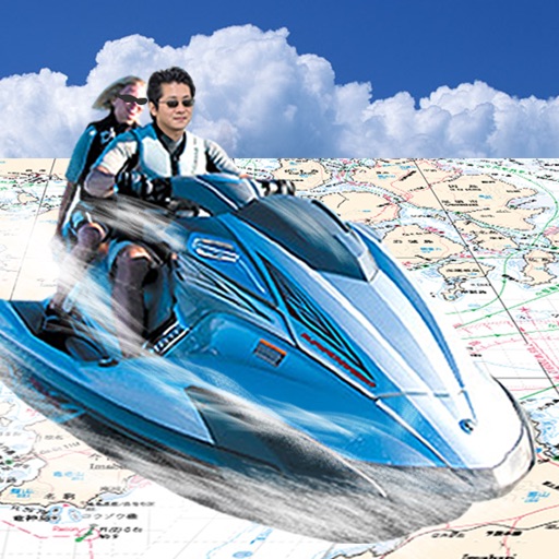
Japan Chart Navi
FujiDenshiDotCom
Navigate with real-time sea maps
Navigate using GPS to find sea routes and locations. View detailed maps and charts. Mark and save waypoints. Track speed and depth. Share coordinates with others. Sync with other devices for real-time updates.


Dutchman's Log
Colin Porteous
Measure boat speed over water
Measure boat speed over water by timing how long it takes to pass a floating object. Enter boat length and units in settings. Requires two people: one on the bow to throw an object into the water and another aft to track its passage.
Social Anchor - Anchor Alarm
RedX Technology Inc
And track nearby boats
Track boat location and monitor status with real-time updates. Receive alerts for exiting circle, low battery, and lost GPS signal. View nearby anchored boats and their radius. Notify others in case of critical situations.


Kuwait Ports Authority
Kuwait Ports Authority
Track ships and containers
Track ship and container movements in real time. View tender schedules and maritime practices. Check high and low tide times. Access daily port activity reports. Locate authorized and restricted areas. Find contact information for maritime agents.



Marine Navigation - Canada
Bist LLC
Navigate with GPS charts
Access charts for based on CHS data. Create and manage boating routes with route manager. Import GPX/KML files. Use voice prompts for . View nautical charts with course orientation.
How we rank alternatives
Apps are ranked by functional similarity, category fit, rating confidence, and popularity.