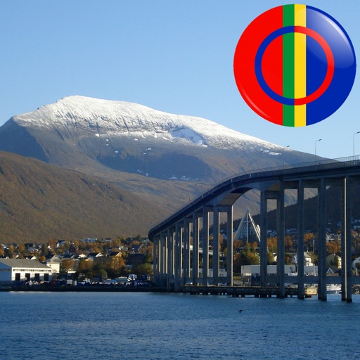
The app displays Sami points of interest in Norway, including mountains, lakes, and buildings. Users can identify locations by pointing their device and viewing them on the screen, even without an internet connection.
The app provides a zoomable map that follows the aircraft's position during flights in simulator programs. Key flight variables are displayed on a side panel, and users can customize map types, aircraft icons, and units of measurement.
Manage vehicle configurations and reconfigure existing ones. Adjust tire pressure targets and update sensor information. Diagnose hardware issues and input tread wear data along with tire specifications.
Navigation provides real-time positioning using iPhone/iPad sensors. Displays maps and routes. Offers -and- interface. Uses digital filtering and stochastic models for accuracy. Only functions in airplanes.
Display geographical in DMS, DDM, DD, and UTM formats simultaneously. Show altitude from GPS, network API, and barometer. Display GPS accuracy. Track position in real time.