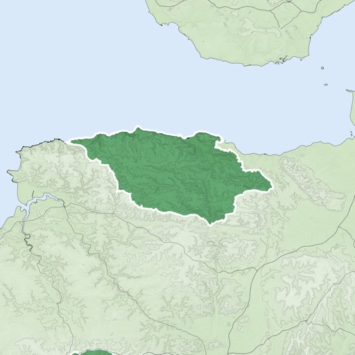
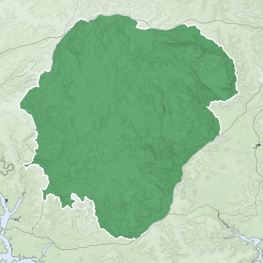
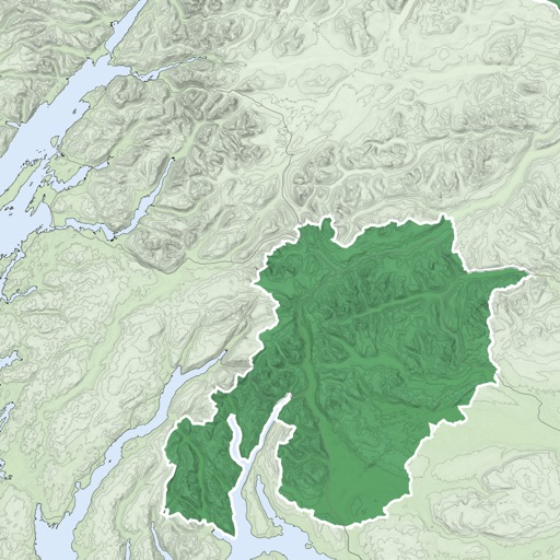
Measure direction and elevation with a digital compass and inclinometer. Access real-time GPS and map data. Navigate using location-based routes. Share coordinates and track movement history.
The app displays the exact opposite side of the world from a selected location. It provides latitude and longitude for both locations and shows them on a map.
Map displays locations globally on a map. Search venues by keyword. Tap icons to view details. Launch or Swarm apps for more options. Show current coordinates and act as a GPS receiver.
The app provides tools for geocaching, including waypoint calculations like coordinate conversions and projections. It also offers text calculations based on character values and hint decryption.
Provides location-specific periods for optimal hunting and fishing times. Displays major and minor periods each day. Tracks wildlife activity patterns to help plan outdoor trips. Allows users to set locations and view detailed schedules.
Track vehicles in real time using GPS. View location updates, monitor movement, and receive alerts. Manage fleets, track school buses, and oversee assets. Set up employee schedules and access vehicle data remotely.
Display geographical in DMS, DDM, DD, and UTM formats simultaneously. Show altitude from GPS, network API, and barometer. Display GPS accuracy. Track position in real time.
Monitor location, heading, pressure, temperature, altitude, speed, distance, and elapsed time in real-time. Track trips, share routes, and receive comprehensive built-in instructions. Customize settings and view data on a large, easy-to-read display.
The app provides a London Tube map that does not require an internet connection. It includes live alerts for train delays and a GPS locator for the nearest station or line.