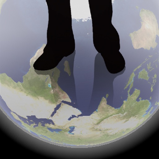
The app shows a transparent view of the earth, allowing users to see the other side of the world beneath their feet. It displays the positions of major cities on a reversed blue marble through a camera overlay view.
View NOAA and USACE nautical charts for U.S. waters in vector format. Create routes, waypoints, and boundaries. Sync navigation objects across devices. Track boat position and speed. Set and monitor alarms for depth, speed, and proximity.
Get directions to any location with accurate navigation. Track your position and movement. View maps and terrain details. Save favorite locations. Share coordinates with others. Set waypoints and follow routes.
Find prayer using device compass and GPS. Display bearing and compass needle. Set location manually or automatically. Works offline and without internet. No location data is shared. Adjust compass for accurate readings.
Displays altitude, coordinates, and speed with options for metric or imperial units. Shows accuracy and warns about signal issues. Offers aircraft mode with in feet. Compares current altitude with known values. No ads or data collection.