

Apps Like uvGO for iPhone and iPad
Plan trips, manage missions, track flights
Plan and manage aircraft missions with DIY trip creation and editing. Add flight legs to build itineraries. Access shared trips for team collaboration. Coordinate complete missions with Universal Weather and Aviation's tools.
uvGO screenshots
Ranked alternatives
Showing 201–220 of 1,000 ranked alternatives.

FP5000 AUS PRO
Rob Slater
Comprehensive flight planning for Australia.
The app provides comprehensive flight planning for Australia, featuring an extensive waypoint database, VFR and IFR planning, and flight plan submission. It offers weather decoding, graphical weight and balance, and Google Earth route display.

BAW: British Airways Air Sonar
fikret urgan
Track flights, view aircraft, and monitor destinations
Track flights in real time using data. View aircraft models, destinations, and flight speeds. Monitor friends and acquaintances flying with . Access pilot perspectives and aviation insights.


MobileSheets
Flight-Sheets.com
Manage aircraft and instructor bookings.
The app manages aircraft and instructor bookings, providing weather, NOTAMs, and aerodrome frequencies. Users can also manage aircraft information and enter flight times on the Electronic HOBBS Board.

METAR Reader
F. Willemse
Fetch and decode weather reports.
The app fetches and decodes preflight weather reports, including METAR and TAF. It allows users to discover airports, manage selected weather stations, and view up-to-date reports on one screen.


FLYLOG.io - For Pilots
Breele s.r.o.
Log flight data and import records
Log flight details with a clean interface and built-in audit tools. Import records from airlines, CSV, Excel, or paper logs. Download and autofill flights using ADS-B data. Export logs in formats compliant with international aviation regulations.
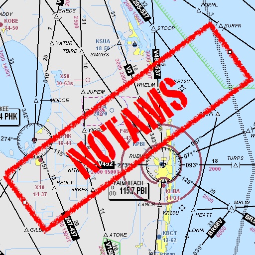
Notam Helper
Mark Bateman
Find and weather contractions
Assists pilots with interpreting NOTAMs, METARs, TAFs, and Area Forecasts. It decodes acronyms and contractions for both inflight and ground use. Users can search for details and weather reports.

Garmin TXi Trainer
Digital Cyclone
Explore flight displays and engine systems
Learn to navigate flight displays and engine systems through simulated touch and bezel interactions. Explore HSI Map zoom gestures and split-screen PFD/MFD modes. Familiarize with interface elements before actual use.


Cyclone - hurricane tracker
Elecont LLC
Real-time weather insights and visuals.
The app provides live satellite imagery for various regions, including North America and Europe. It tracks storms worldwide with precise projected paths and detailed forecasts, offering a complete view of weather conditions.

FP5000 AUS LITE
Rob Slater
Comprehensive flight planning for aviation professionals.
The app provides flight planning capabilities with an extensive database of waypoints and airfields. It offers VFR and IFR planning, graphical weight and balance, and NAIPS access for weather and NOTAMs.

GA Flight Tracker
Gorkem Yuksel
Track flights, navigate routes, monitor weather
Track paths and monitor aircraft positions in real time. View weather data and airspace restrictions. Access preloaded charts and navigate without an internet connection. Set alerts and receive notifications for potential hazards.

Minimums - METAR/TAF Analysis
Tailwheel Labs Ltd.
Track weather for airports and set custom
View METAR and TAF data for global airports. Set custom for takeoff, landing, and alternate weather conditions. Create alerts for weather changes using push notifications. Customize units for visibility, wind speed, and temperature.


Flight Winds
FLEMINGER MEDIA LLC
Track wind conditions for safe flights
FlightWinds calculates crosswind, tailwind, and headwind components for takeoff and landing. Displays dual runway views. Alerts users when wind limits are exceeded. Offers an intuitive interface and universal access.
How we rank alternatives
Apps are ranked by functional similarity, category fit, rating confidence, and popularity.