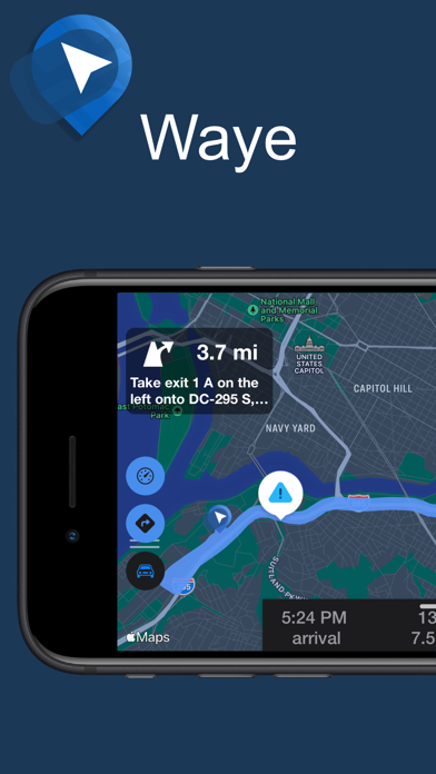
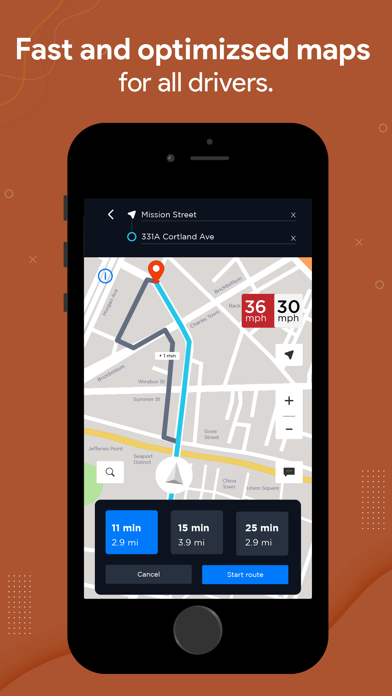
Know what's ahead on the road with the help from other drivers. Waze is a live map that harnesses the local knowledge of tens of millions of drivers around the world. Drivers safely and confidently reach their everyday destinations thanks to Waze map’s GPS navigation, live traffic updates, real-time safety alerts (including construction, accidents, crashes, police, potholes, and more), and accurate ETAs. Make your next drive more predictable and stress-free: • Get there faster with real-time directions, accurate ETAs, and automatic rerouting based on live traffic, incidents, and road closures • Even if you know the way, avoid surprises on the road ahead with safety alerts for accidents, crashes, construction, objects on the road, potholes, speed bumps, sharp curves, bad weather, emergency vehicles, railroad crossings, and more • Steer clear of tickets by knowing where police and red light & speed cameras are located • Share what’s happening on… More about Waze Navigation & Live Traffic
see also: Apps like Waze Navigation & Live Traffic